Ragiv:Seward Alaska aerial view.jpg
Size of this preview: 800 × 539 pixels. Other resolutions: 320 × 216 pixels • 640 × 431 pixels • 1,024 × 690 pixels • 1,500 × 1,011 pixels.
Ragiv rigik (1,500 × 1,011 pixel, ragivagret: 533 KB, pated MIME: image/jpeg)
| Bepenam |
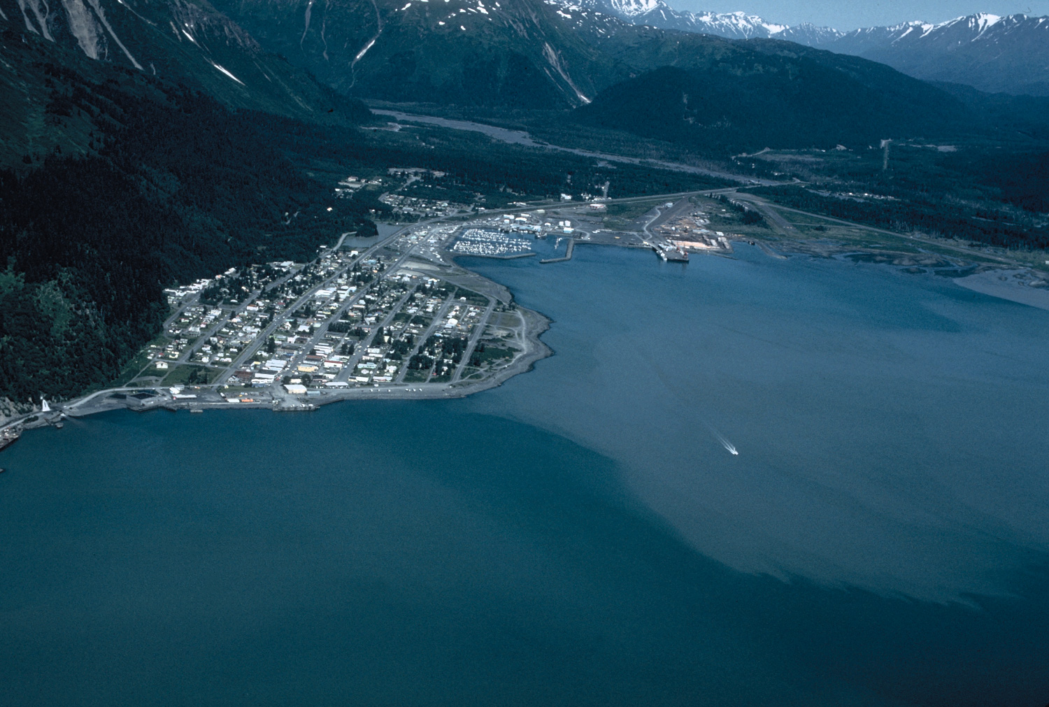
English: Aerial view of Seward, Alaska, USA. |
|||
| Location | Seward, Alaska, USA 60°6′17.66″N 149°26′2.31″W / 60.1049056°N 149.433975°W |
|||
| Dät | not specified or unknown | |||
| Fon |
U.S. Army Corps of Engineers Digital Visual Library Image page Image description page Digital Visual Library home page |
|||
| Lautan | U.S. Army Corps of Engineers, photographer not specified or unknown | |||
| Däl (Reusing this file) |
|
Jenotem ragiva
Välolös däti/timi ad logön ragivi soäsä äbinon ün tim at.
| Dät/Tim | Magodil | Mafots | Geban | Küpet | |
|---|---|---|---|---|---|
| anuik | 03:37, 2007 mäzul 20id | | 1,500 × 1,011 (533 KB) | DanMS | {{Information | Description = Aerial view of Seward, Alaska, USA. | Source = U.S. Army Corps of Engineers Digital Visual Library<br />[http://images.usace.army.mil/images/Hires/4414-26.Jpg Image page]<br />[http://images.usace.army.mil/scripts/ |
Yüms
Pads sököl payümons ko pad at:
Ragivigeb Valöpik
The following other wikis use this file:
- Geb su af.wikipedia.org
- Geb su ar.wikipedia.org
- Geb su arz.wikipedia.org
- Geb su az.wikipedia.org
- Geb su ca.wikipedia.org
- Geb su ceb.wikipedia.org
- Geb su ce.wikipedia.org
- Geb su dag.wikipedia.org
- Geb su da.wikipedia.org
- Geb su de.wikipedia.org
- Geb su en.wikipedia.org
- Geb su en.wikivoyage.org
- Geb su eu.wikipedia.org
- Geb su fi.wikipedia.org
- Geb su fr.wikipedia.org
- Geb su fr.wikivoyage.org
- Geb su ga.wikipedia.org
- Geb su he.wikivoyage.org
- Geb su ht.wikipedia.org
- Geb su hy.wikipedia.org
- Geb su is.wikipedia.org
- Geb su it.wikipedia.org
- Geb su it.wikivoyage.org
- Geb su ja.wikipedia.org
- Geb su ko.wikipedia.org
- Geb su lld.wikipedia.org
- Geb su no.wikipedia.org
- Geb su pl.wikipedia.org
- Geb su pt.wikipedia.org
- Geb su ru.wikipedia.org
- Geb su sh.wikipedia.org
- Geb su simple.wikipedia.org
- Geb su sr.wikipedia.org
- Geb su sv.wikipedia.org
- Geb su tr.wikipedia.org
- Geb su tt.wikipedia.org
- Geb su uk.wikipedia.org
- Geb su uz.wikipedia.org
- Geb su www.wikidata.org
- Geb su zh-min-nan.wikipedia.org