Ragiv:Mt Vernon Municipal Bldg jeh.jpg
Gretot gudikum no pagebidon.
Mt_Vernon_Municipal_Bldg_jeh.jpg (607 × 479 pixel, ragivagret: 84 KB, pated MIME: image/jpeg)
Plän brefik
| Bepenam |
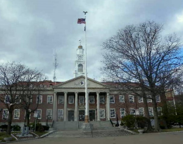
English: Looking west at Mt Vernon Municipal Building on a cloudy morning. |
| Dät | |
| Fon | Vobot okik |
| Lautan | Jim.henderson |
| Camera location | | View this and other nearby images on: OpenStreetMap |
|---|
Dälastad
I, the copyright holder of this work, hereby publish it under the following license:
| This file is made available under the Creative Commons CC0 1.0 Universal Public Domain Dedication. | |
| The person who associated a work with this deed has dedicated the work to the public domain by waiving all of their rights to the work worldwide under copyright law, including all related and neighboring rights, to the extent allowed by law. You can copy, modify, distribute and perform the work, even for commercial purposes, all without asking permission.
|
Jenotem ragiva
Välolös däti/timi ad logön ragivi soäsä äbinon ün tim at.
| Dät/Tim | Magodil | Mafots | Geban | Küpet | |
|---|---|---|---|---|---|
| anuik | 02:16, 2011 prilul 17id | | 607 × 479 (84 KB) | Jim.henderson | {{Information |Description ={{en|1=Looking west at Mt Vernon Municipal Building on a cloudy morning. Category:Mount Vernon, New York}} |Source ={{own}} |Author =Jim.henderson |Date =2011-03-13 |Per |
Yüms
Pads sököl payümons ko pad at:
Ragivigeb Valöpik
The following other wikis use this file:
- Geb su ar.wikipedia.org
- Geb su arz.wikipedia.org
- Geb su be.wikipedia.org
- Geb su br.wikipedia.org
- Geb su ca.wikipedia.org
- Geb su ceb.wikipedia.org
- Geb su ce.wikipedia.org
- Geb su cs.wikipedia.org
- Geb su cy.wikipedia.org
- Geb su en.wikipedia.org
- Geb su en.wikivoyage.org
- Geb su eu.wikipedia.org
- Geb su he.wikipedia.org
- Geb su ht.wikipedia.org
- Geb su io.wikipedia.org
- Geb su ja.wikipedia.org
- Geb su lld.wikipedia.org
- Geb su nl.wikipedia.org
- Geb su no.wikipedia.org
- Geb su pl.wikipedia.org
- Geb su pt.wikipedia.org
- Geb su ru.wikipedia.org
- Geb su sk.wikipedia.org
- Geb su sr.wikipedia.org
- Geb su sv.wikipedia.org
- Geb su sw.wikipedia.org
- Geb su szl.wikipedia.org
- Geb su tr.wikipedia.org
- Geb su tt.wikipedia.org
- Geb su uk.wikipedia.org
- Geb su www.wikidata.org
- Geb su zh-min-nan.wikipedia.org