Ragiv:Huntington-village-map-ny.gif
Gretot gudikum no pagebidon.
Huntington-village-map-ny.gif (575 × 425 pixel, ragivagret: 67 KB, pated MIME: image/gif)
Plän brefik
| Bepenam |
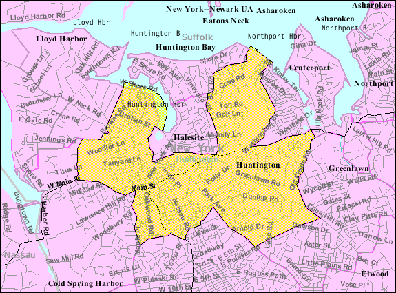
English: Huntington map from U.S. Census |
| Fon | US gov |
| Lautan | U.S. Census Bureau |
Dälastad
This image or file is a work of a United States Census Bureau employee, taken or made as part of that person's official duties. As a work of the U.S. federal government, the image is in the public domain.
|
 |
Original upload log
The original description page was here. All following user names refer to en.wikipedia.
| Dät/Tim | Mafots | Geban | Küpet |
|---|---|---|---|
| 2007-11-26 03:14 | 575×425× (68779 bytes) | Americasroof | [[Huntington, New York]] map from U.S. Census |
Jenotem ragiva
Välolös däti/timi ad logön ragivi soäsä äbinon ün tim at.
| Dät/Tim | Magodil | Mafots | Geban | Küpet | |
|---|---|---|---|---|---|
| anuik | 03:39, 2018 gustul 13id | | 575 × 425 (67 KB) | Innotata | Transferred from en.wikipedia via #commonshelper |
Yüms
Pads sököl payümons ko pad at:
Ragivigeb Valöpik
The following other wikis use this file:
- Geb su azb.wikipedia.org
- Geb su ca.wikipedia.org
- Geb su en.wikipedia.org
- Geb su es.wikipedia.org
- Geb su eu.wikipedia.org
- Geb su fa.wikipedia.org
- Geb su fr.wikipedia.org
- Geb su tt.wikipedia.org
- Geb su ur.wikipedia.org
- Geb su www.wikidata.org