Ragiv:Franklin east of Courthouse(CLight).jpg
Size of this preview: 800 × 600 pixels. Other resolutions: 320 × 240 pixels • 640 × 480 pixels • 1,024 × 768 pixels • 1,280 × 960 pixels • 2,560 × 1,920 pixels • 3,072 × 2,304 pixels.
Ragiv rigik (3,072 × 2,304 pixel, ragivagret: 1.15 MB, pated MIME: image/jpeg)
.jpg)
Plän brefik
|
This is an image of a place or building that is listed on the National Register of Historic Places in the United States of America. Its reference number is 90000327. |

|
This file was moved to Wikimedia Commons from en.wikipedia using a bot script. All source information is still present. It requires review. Additionally, there may be errors in any or all of the information fields; information on this file should not be considered reliable and the file should not be used until it has been reviewed and any needed corrections have been made. Once the review has been completed, this template should be removed. For details about this file, see below. Check now! |
.jpg&action=edit&withJS=MediaWiki:Botcheck.js)
| Bepenam |
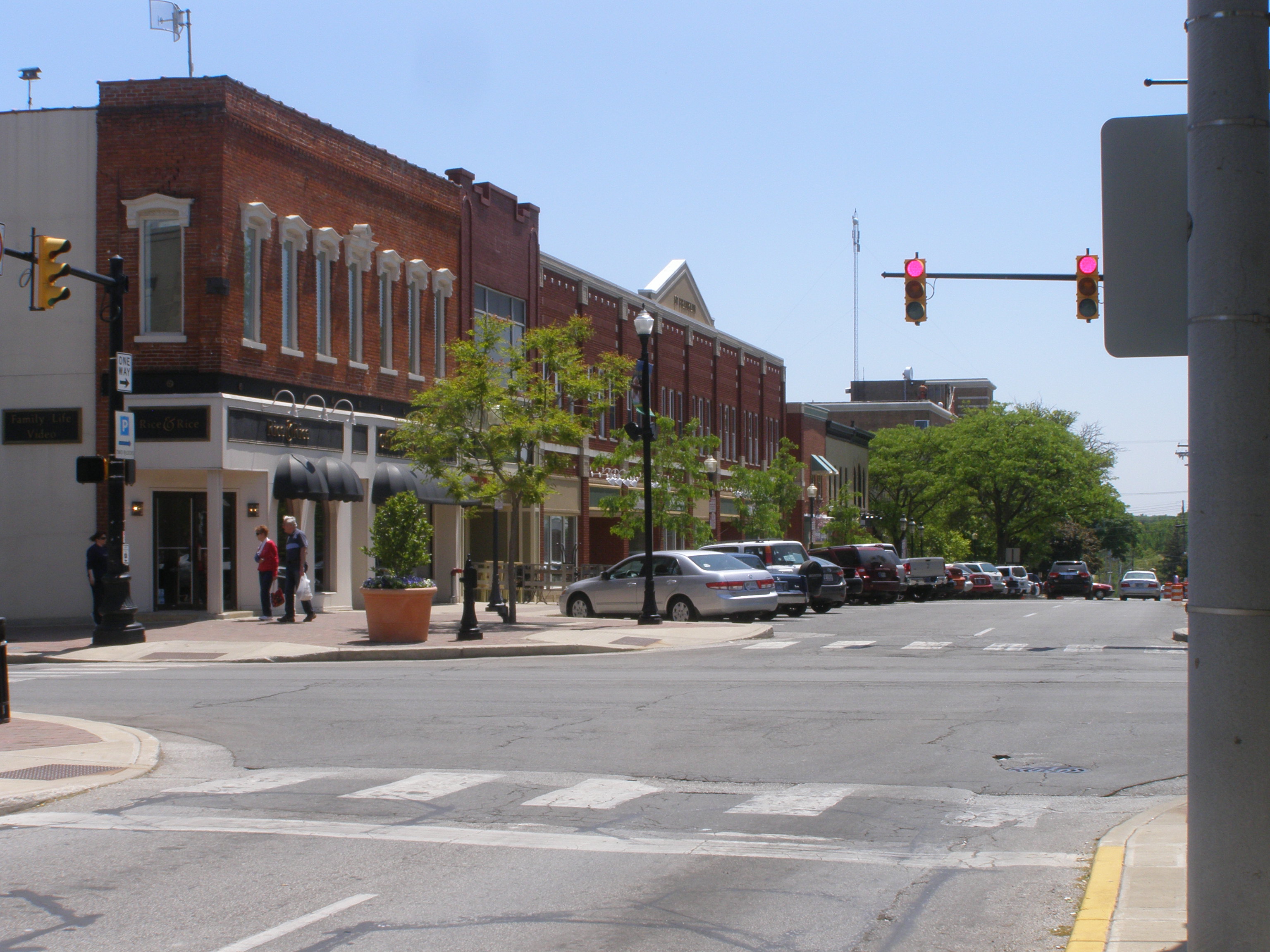
English: Franklin Ave, east of Courthouse Square |
| Dät | |
| Fon | Vobot okik (Original text: I created this work entirely by myself.) |
| Lautan | Chris Light (talk) |
| Object location | | View this and other nearby images on: OpenStreetMap |
|---|
.jpg¶ms=041.467500_N_-087.060000_E_globe:Earth_class:object_region:US_type:landmark_scale:1500_&language=vo)
Dälastad
Chris Light at Linglänapük Vükiped, the copyright holder of this work, hereby publishes it under the following licenses:
This file is licensed under the Creative Commons Attribution-Share Alike 3.0 Unported license.
Attribution: Chris Light at Linglänapük Vükiped
- Binol libik:
- to share – to copy, distribute and transmit the work
- to remix – to adapt the work
- Under the following conditions:
- attribution – You must give appropriate credit, provide a link to the license, and indicate if changes were made. You may do so in any reasonable manner, but not in any way that suggests the licensor endorses you or your use.
- share alike – If you remix, transform, or build upon the material, you must distribute your contributions under the same or compatible license as the original.

|
Däl pagevon ad kopiedön, seagivön e/u votükön dokümi at ma Dälazöt ad Dokümam Libik: GNU, Fomam: 1.2 u nulikum fa el Free Software Foundation (Stitod: Nünömaprograms libik); nen diläds nevotükovik, nen vödems tegapada balid, e leigo nen vödems tegapada lätik. Kopied dälazöta pekeninon in diläd: Dälazöt ad Dokümam Libik: GNU panemöl. |
You may select the license of your choice.
Original upload log
Transferred from en.wikipedia to Commons by Sreejithk2000 using CommonsHelper.
The original description page was here. All following user names refer to en.wikipedia.
- 2008-07-09 19:08 Chris Light 1984×1488× (652342 bytes) {{Information |Description=Franklin Ave, east of Courthouse Square |Source=I created this work entirely by myself. |Date=April 10, 2005 |Author=~~~ |other_versions= }}
Jenotem ragiva
Välolös däti/timi ad logön ragivi soäsä äbinon ün tim at.
| Dät/Tim | Magodil | Mafots | Geban | Küpet | |
|---|---|---|---|---|---|
| anuik | 14:11, 2018 tobul 24id | | 3,072 × 2,304 (1.15 MB) | Chris Light | Higher Resolution |
| 08:49, 2010 yunul 4id |  | 1,984 × 1,488 (637 KB) | File Upload Bot (Magnus Manske) | {{BotMoveToCommons|en.wikipedia|year={{subst:CURRENTYEAR}}|month={{subst:CURRENTMONTHNAME}}|day={{subst:CURRENTDAY}}}} {{Information |Description={{en|Franklin Ave, east of Courthouse Square<br/> == Licensing: == [[:en:category:Images of Valparaiso, Ind |
Yüms
Pads sököl payümons ko pad at:
Ragivigeb Valöpik
The following other wikis use this file:
- Geb su ar.wikipedia.org
- Geb su arz.wikipedia.org
- Geb su ca.wikipedia.org
- Geb su ceb.wikipedia.org
- Geb su ce.wikipedia.org
- Geb su cy.wikipedia.org
- Geb su dag.wikipedia.org
- Geb su de.wikipedia.org
- Geb su en.wikipedia.org
- Geb su en.wikivoyage.org
- Geb su es.wikipedia.org
- Geb su eu.wikipedia.org
- Geb su fr.wikipedia.org
- Geb su ht.wikipedia.org
- Geb su hu.wikipedia.org
- Geb su ko.wikipedia.org
- Geb su lld.wikipedia.org
- Geb su no.wikipedia.org
- Geb su pl.wikipedia.org
- Geb su pt.wikipedia.org
- Geb su sq.wikipedia.org
- Geb su sr.wikipedia.org
- Geb su sv.wikipedia.org
- Geb su tt.wikipedia.org
- Geb su ur.wikipedia.org
- Geb su uz.wikipedia.org
- Geb su vi.wikipedia.org
- Geb su www.wikidata.org
- Geb su zh.wikipedia.org
.jpg)