Ragiv:Eaton canyon from the air.jpg
Eaton_canyon_from_the_air.jpg (688 × 457 pixel, ragivagret: 423 KB, pated MIME: image/jpeg)
Plän brefik
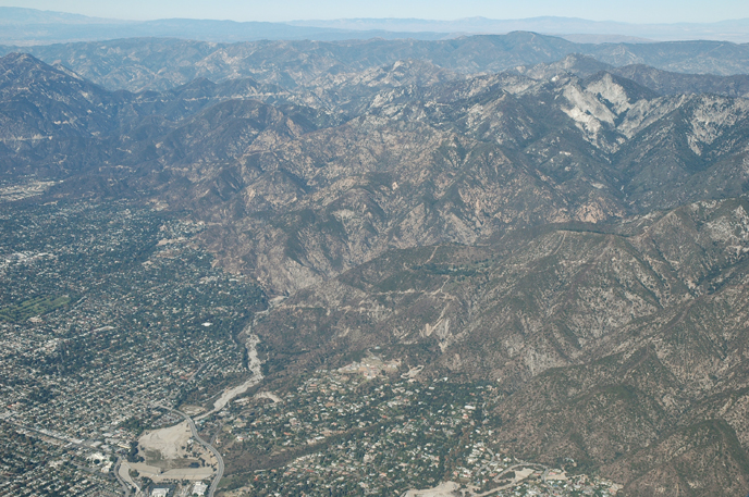
| Bepenam | Eaton Canyon, reservoir and wash from the air |
| Dät | Taken on 4 dekul 2005 |
| Fon | Aerial Photography of Southern California |
| Lautan | Bruce Perry |
| Other versions | http://www.cnsm.csulb.edu/departments/geology/people/bperry//Aerial%20Photos%20for%20Alumni%20Grant/San%20Gabriel%20Mountains%20Flight%20December%202005/San%20Gabriel%20Mountains%20Flight%201%20Dec%202005/214PasadenaEatonCanyonResAndWashDec05S.jpg |
| Camera location | | View this and other nearby images on: OpenStreetMap |
|---|
Dälastad
- Binol libik:
- to share – to copy, distribute and transmit the work
- to remix – to adapt the work
- Under the following conditions:
- attribution – You must give appropriate credit, provide a link to the license, and indicate if changes were made. You may do so in any reasonable manner, but not in any way that suggests the licensor endorses you or your use.
- share alike – If you remix, transform, or build upon the material, you must distribute your contributions under the same or compatible license as the original.
Errata
Credits - This web site was conceived of and produced by Bruce Perry of the Department of Geological Sciences at CSU Long Beach. If you have any questions or comments about the contents, please direct them to Mr. Perry at bperry@csulb.edu. All aerial and ground-based photographs are by Bruce Perry unless otherwise noted, and they can be used, with permission, for any nonprofit purpose.
Please credit photos to "Bruce Perry, Department of Geological Sciences, CSU Long Beach". For those wishing to use a photograph for business or other for-profit purpose, contact Mr. Perry for further information.
| Annotations | This image is annotated: View the annotations at Commons |
Jenotem ragiva
Välolös däti/timi ad logön ragivi soäsä äbinon ün tim at.
| Dät/Tim | Magodil | Mafots | Geban | Küpet | |
|---|---|---|---|---|---|
| anuik | 00:48, 2007 yunul 12id | | 688 × 457 (423 KB) | Evrik | {{Information |Description=Eaton Canyon, reservoir and wash from the air |Source=[http://www.cnsm.csulb.edu/departments/geology/people/bperry/Aerial%20Photography%20of%20Southern%20California/SanGabrielMountains.htm Aerial Photography |
Yüms
Pads sököl payümons ko pad at:
Ragivigeb Valöpik
The following other wikis use this file:
- Geb su azb.wikipedia.org
- Geb su ca.wikipedia.org
- Geb su ceb.wikipedia.org
- Geb su ce.wikipedia.org
- Geb su en.wikipedia.org
- Geb su es.wikipedia.org
- Geb su eu.wikipedia.org
- Geb su fa.wikipedia.org
- Geb su fi.wikipedia.org
- Geb su fr.wikipedia.org
- Geb su it.wikipedia.org
- Geb su lld.wikipedia.org
- Geb su pl.wikipedia.org
- Geb su pt.wikipedia.org
- Geb su ru.wikipedia.org
- Geb su sh.wikipedia.org
- Geb su simple.wikipedia.org
- Geb su sr.wikipedia.org
- Geb su tt.wikipedia.org
- Geb su uk.wikipedia.org
- Geb su www.wikidata.org
- Geb su zh-min-nan.wikipedia.org
- Geb su zh.wikipedia.org