Ragiv:Domfront - La mairie.JPG
Size of this preview: 800 × 533 pixels. Other resolutions: 320 × 213 pixels • 640 × 427 pixels • 1,024 × 683 pixels • 1,280 × 853 pixels • 2,560 × 1,707 pixels • 4,752 × 3,168 pixels.
Ragiv rigik (4,752 × 3,168 pixel, ragivagret: 7.19 MB, pated MIME: image/jpeg)
Plän brefik
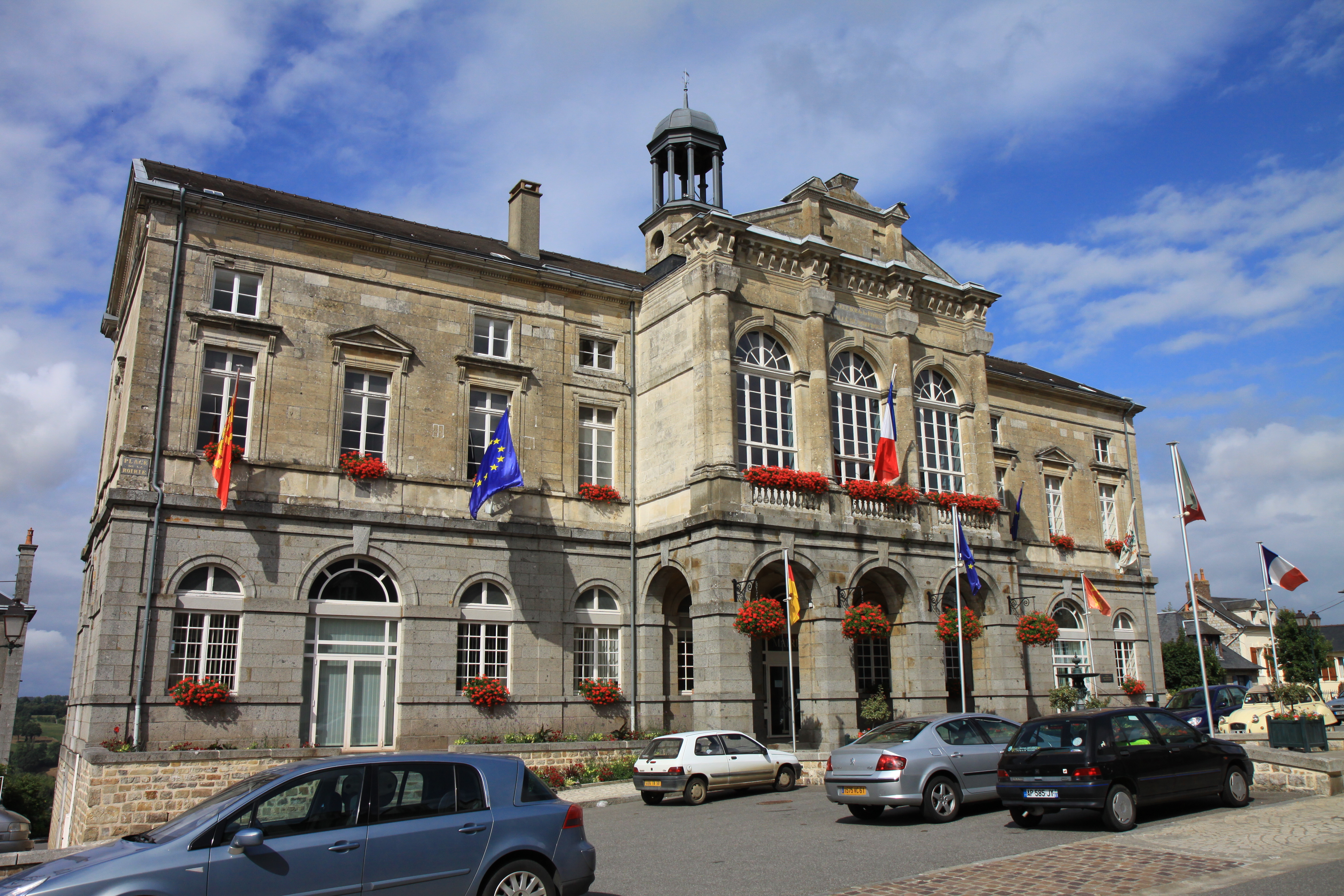
| Bepenam | Vue d'ensemble de la mairie. |
| Dät | |
| Fon | Vobot okik |
| Lautan | Thesupermat |
| Camera location | | View this and other nearby images on: OpenStreetMap |
|---|
Dälastad
I, the copyright holder of this work, hereby publish it under the following license:
This file is licensed under the Creative Commons Attribution-Share Alike 3.0 Unported license.
- Binol libik:
- to share – to copy, distribute and transmit the work
- to remix – to adapt the work
- Under the following conditions:
- attribution – You must give appropriate credit, provide a link to the license, and indicate if changes were made. You may do so in any reasonable manner, but not in any way that suggests the licensor endorses you or your use.
- share alike – If you remix, transform, or build upon the material, you must distribute your contributions under the same or compatible license as the original.
Jenotem ragiva
Välolös däti/timi ad logön ragivi soäsä äbinon ün tim at.
| Dät/Tim | Magodil | Mafots | Geban | Küpet | |
|---|---|---|---|---|---|
| anuik | 20:52, 2010 gustul 3id | | 4,752 × 3,168 (7.19 MB) | Thesupermat |
Yüms
Pads sököl payümons ko pad at:
Ragivigeb Valöpik
The following other wikis use this file:
- Geb su arz.wikipedia.org
- Geb su ast.wikipedia.org
- Geb su ca.wikipedia.org
- Geb su ceb.wikipedia.org
- Geb su ce.wikipedia.org
- Geb su el.wikipedia.org
- Geb su en.wikipedia.org
- Geb su eo.wikipedia.org
- Geb su es.wikipedia.org
- Geb su eu.wikipedia.org
- Geb su fr.wikipedia.org
- Geb su fr.wikivoyage.org
- Geb su hu.wikipedia.org
- Geb su it.wikipedia.org
- Geb su ku.wikipedia.org
- Geb su la.wikipedia.org
- Geb su lld.wikipedia.org
- Geb su mg.wikipedia.org
- Geb su nl.wikipedia.org
- Geb su oc.wikipedia.org
- Geb su pt.wikipedia.org
- Geb su ro.wikipedia.org
- Geb su ru.wikipedia.org
- Geb su sh.wikipedia.org
- Geb su sk.wikipedia.org
- Geb su sr.wikipedia.org
- Geb su sv.wikipedia.org
- Geb su tt.wikipedia.org
- Geb su uk.wikipedia.org
- Geb su uz.wikipedia.org
- Geb su vec.wikipedia.org
- Geb su www.wikidata.org
- Geb su zh-min-nan.wikipedia.org
- Geb su zh.wikipedia.org