Ragiv:Cordova Alaska aerial view.jpg
Size of this preview: 635 × 600 pixels. Other resolutions: 254 × 240 pixels • 508 × 480 pixels • 813 × 768 pixels • 1,084 × 1,024 pixels • 1,500 × 1,417 pixels.
Ragiv rigik (1,500 × 1,417 pixel, ragivagret: 821 KB, pated MIME: image/jpeg)
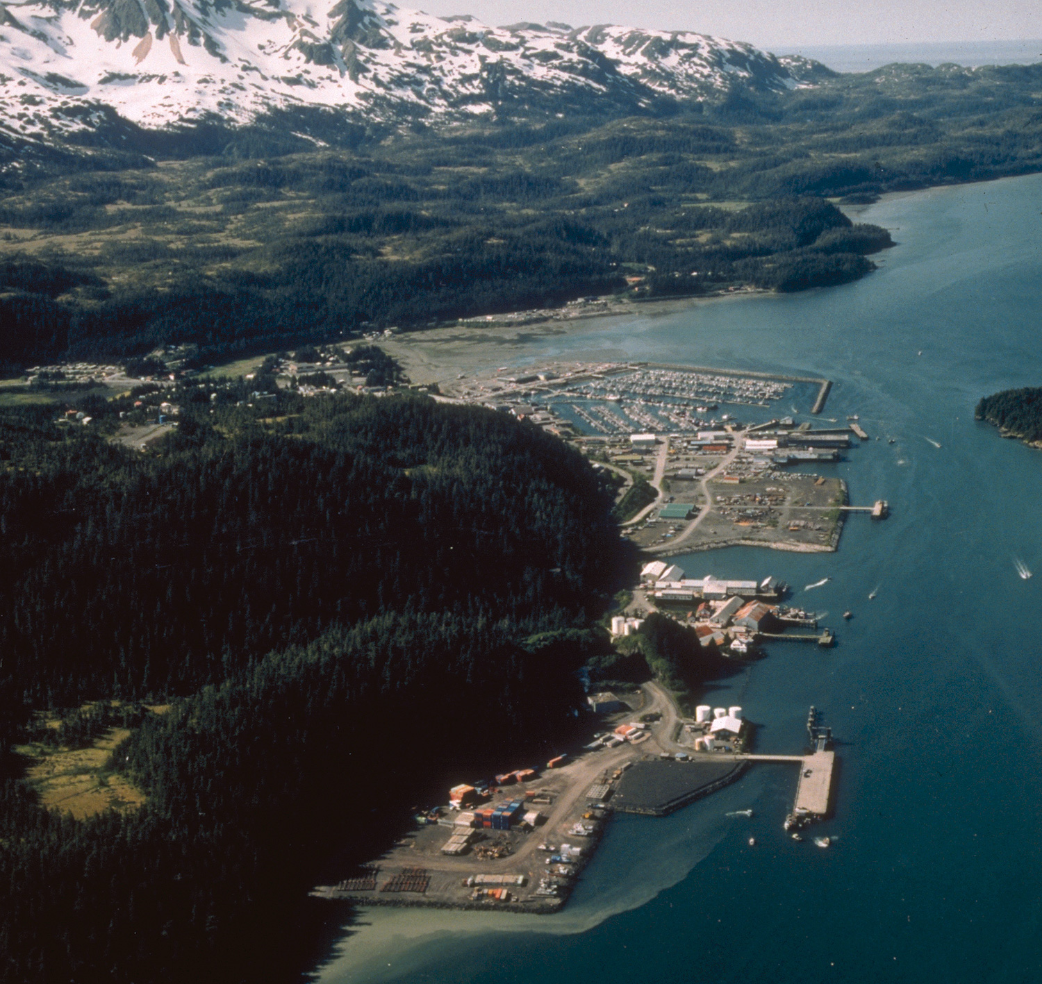
| Bepenam | Aerial view of Cordova, Alaska. | |||
| Location | Cordova, Alaska, USA 60°32′58.64″N 145°45′50.34″W / 60.5496222°N 145.7639833°W |
|||
| Dät | not specified or unknown | |||
| Fon |
U.S. Army Corps of Engineers Digital Visual Library Image page Image description page Digital Visual Library home page |
|||
| Lautan | U.S. Army Corps of Engineers, photographer not specified or unknown | |||
| Däl (Reusing this file) |
|
Jenotem ragiva
Välolös däti/timi ad logön ragivi soäsä äbinon ün tim at.
| Dät/Tim | Magodil | Mafots | Geban | Küpet | |
|---|---|---|---|---|---|
| anuik | 01:28, 2007 mäzul 20id | | 1,500 × 1,417 (821 KB) | DanMS | Whoops! Uploaded wrong picture last time. |
| 01:23, 2007 mäzul 20id |  | 1,500 × 1,420 (747 KB) | DanMS | {{Information | Description = Aerial view of Cordova, Alaska | Source = U.S. Army Corps of Engineers Digital Visual Library<br />[picture page url Image page]<br />[description page url Image description page]<br />[http://images.usace.army.mil |
Yüms
Pads sököl payümons ko pad at:
Ragivigeb Valöpik
The following other wikis use this file:
- Geb su av.wikipedia.org
- Geb su azb.wikipedia.org
- Geb su ceb.wikipedia.org
- Geb su de.wikipedia.org
- Geb su en.wikipedia.org
- Geb su es.wikipedia.org
- Geb su fa.wikipedia.org
- Geb su fi.wikipedia.org
- Geb su frr.wikipedia.org
- Geb su fr.wikipedia.org
- Geb su it.wikipedia.org
- Geb su ja.wikipedia.org
- Geb su mg.wikipedia.org
- Geb su ml.wikipedia.org
- Geb su mrj.wikipedia.org
- Geb su nl.wikipedia.org
- Geb su pl.wikipedia.org
- Geb su pt.wikipedia.org
- Geb su ru.wikipedia.org
- Geb su scn.wikipedia.org
- Geb su sh.wikipedia.org
- Geb su sr.wikipedia.org
- Geb su tly.wikipedia.org
- Geb su tr.wikipedia.org
- Geb su uk.wikipedia.org
- Geb su uz.wikipedia.org
- Geb su www.wikidata.org
- Geb su zh-min-nan.wikipedia.org