Ragiv:CamarilloCalifornia.jpg
Size of this preview: 800 × 599 pixels. Other resolutions: 320 × 239 pixels • 640 × 479 pixels • 1,024 × 766 pixels • 1,280 × 958 pixels • 2,288 × 1,712 pixels.
Ragiv rigik (2,288 × 1,712 pixel, ragivagret: 677 KB, pated MIME: image/jpeg)
Plän brefik
| Bepenam |
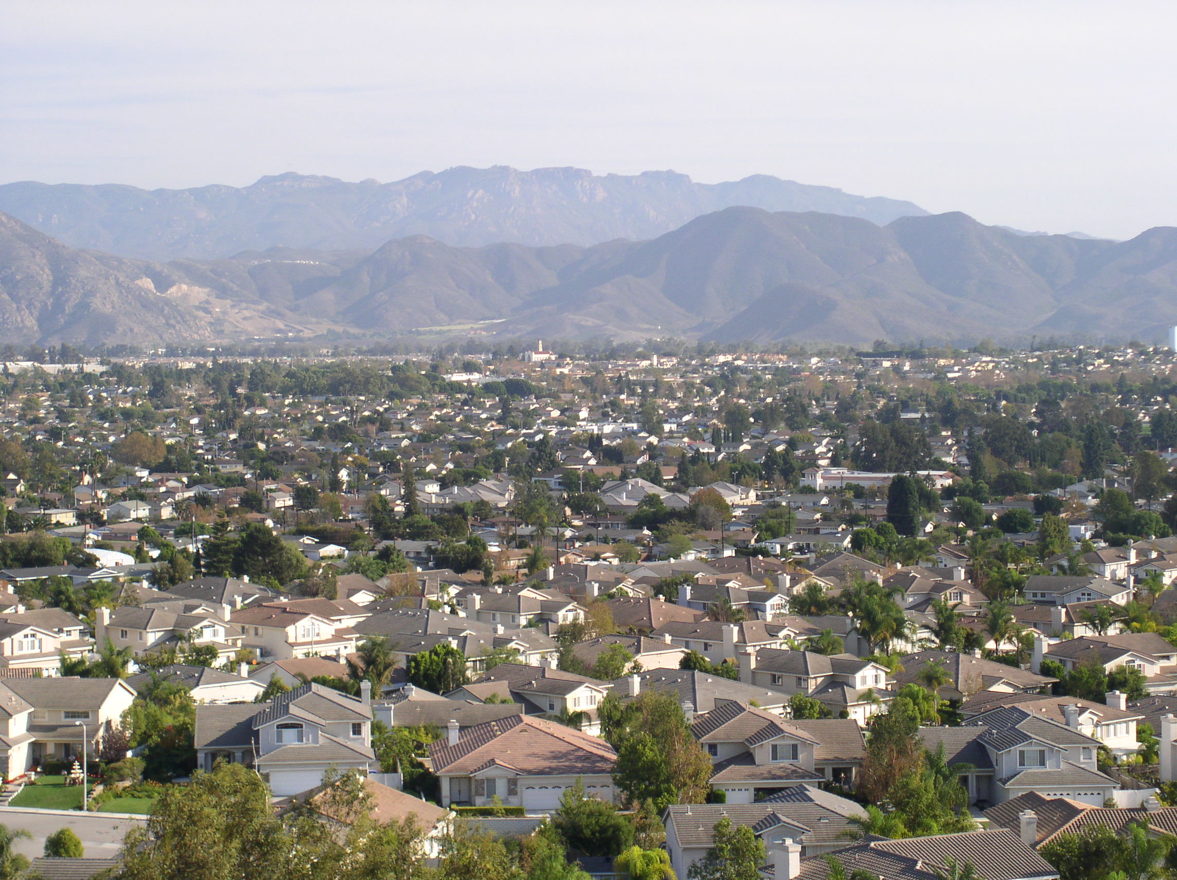
English: Image of Camarillo, California looking southeast taken from a hillside on the northwestern part of the city near Estaban Drive. |
| Dät | |
| Fon | Self-photographed |
| Lautan | Frantik at en.wikipedia |
| Camera location | | View this and other nearby images on: OpenStreetMap |
|---|
The geographical information in this file was retrospectively estimated.
The location may therefore be somewhat imprecise. Verifying and refining these coordinates is strongly encouraged. |
Dälastad
Frantik at en.wikipedia, the copyright holder of this work, hereby publishes it under the following licenses:

|
Däl pagevon ad kopiedön, seagivön e/u votükön dokümi at ma Dälazöt ad Dokümam Libik: GNU, Fomam: 1.2 u nulikum fa el Free Software Foundation (Stitod: Nünömaprograms libik); nen diläds nevotükovik, nen vödems tegapada balid, e leigo nen vödems tegapada lätik. Kopied dälazöta pekeninon in diläd: Dälazöt ad Dokümam Libik: GNU panemöl. |
This file is licensed under the Creative Commons Attribution 3.0 Unported license.
Attribution: Frantik at en.wikipedia
- Binol libik:
- to share – to copy, distribute and transmit the work
- to remix – to adapt the work
- Under the following conditions:
- attribution – You must give appropriate credit, provide a link to the license, and indicate if changes were made. You may do so in any reasonable manner, but not in any way that suggests the licensor endorses you or your use.
You may select the license of your choice.
Original upload log
The original description page was here. All following user names refer to en.wikipedia.
| Date | User | Size | Description |
|---|---|---|---|
| 2007-10-29 11:43 | Frantik | 2288×1712 (693498 bytes) | Looking southeast from the hills in the northwest corner of Camarillo. Image taken on October 28, 2007. |
Jenotem ragiva
Välolös däti/timi ad logön ragivi soäsä äbinon ün tim at.
| Dät/Tim | Magodil | Mafots | Geban | Küpet | |
|---|---|---|---|---|---|
| anuik | 12:15, 2009 yunul 23id | | 2,288 × 1,712 (677 KB) | Jonesey | {{Information |Description={{en|Image of {{w|Camarillo, California}} looking southeast taken from a hillside on the northwestern part of the city near Estaban Drive.}} |Source=Transferred from [http://en.wikipedia.org en.wikipedia] |Date=2007-10-28 |Autho |
Yüms
Pads sököl payümons ko pad at:
Ragivigeb Valöpik
The following other wikis use this file:
- Geb su ar.wikipedia.org
- Geb su arz.wikipedia.org
- Geb su ast.wikipedia.org
- Geb su be.wikipedia.org
- Geb su bg.wikipedia.org
- Geb su ca.wikipedia.org
- Geb su ceb.wikipedia.org
- Geb su ce.wikipedia.org
- Geb su de.wikipedia.org
- Geb su en.wikipedia.org
- Geb su es.wikipedia.org
- Geb su eu.wikipedia.org
- Geb su fa.wikipedia.org
- Geb su fo.wikipedia.org
- Geb su fr.wikipedia.org
- Geb su ht.wikipedia.org
- Geb su hu.wikipedia.org
- Geb su it.wikipedia.org
- Geb su ja.wikipedia.org
- Geb su ko.wikipedia.org
- Geb su lld.wikipedia.org
- Geb su ml.wikipedia.org
- Geb su nl.wikipedia.org
- Geb su no.wikipedia.org
- Geb su pl.wikipedia.org
- Geb su pt.wikipedia.org
- Geb su ru.wikipedia.org
- Geb su sco.wikipedia.org
- Geb su simple.wikipedia.org
- Geb su sr.wikipedia.org
- Geb su sv.wiktionary.org
- Geb su szl.wikipedia.org
- Geb su tr.wikipedia.org
- Geb su tt.wikipedia.org
- Geb su vi.wikipedia.org
- Geb su www.wikidata.org
- Geb su zh-min-nan.wikipedia.org
- Geb su zh.wikipedia.org