Ragiv:Brazil State Para.svg

Size of this PNG preview of this SVG file: 613 × 600 pixels. Other resolutions: 245 × 240 pixels • 490 × 480 pixels • 785 × 768 pixels • 1,046 × 1,024 pixels • 2,093 × 2,048 pixels • 702 × 687 pixels.
Ragiv rigik (ragiv in fomät: SVG, magodaziöbs 702 × 687, gretot: 676 KB)

|
Standardization of derivative maps
Feel free to create derivations of this work, but if you want to illustrate a Wikipedia article with derivative works of this or similar maps of Brazil, please strictly follow the visual standard, nomenclature and classification already in use. All maps of Brazilian subdivisions are being adaptated or created in this way. We do not want to inhibit creativity but the pattern adopted here was presented and accepted by the Lusophone community and should be followed whenever possible. |
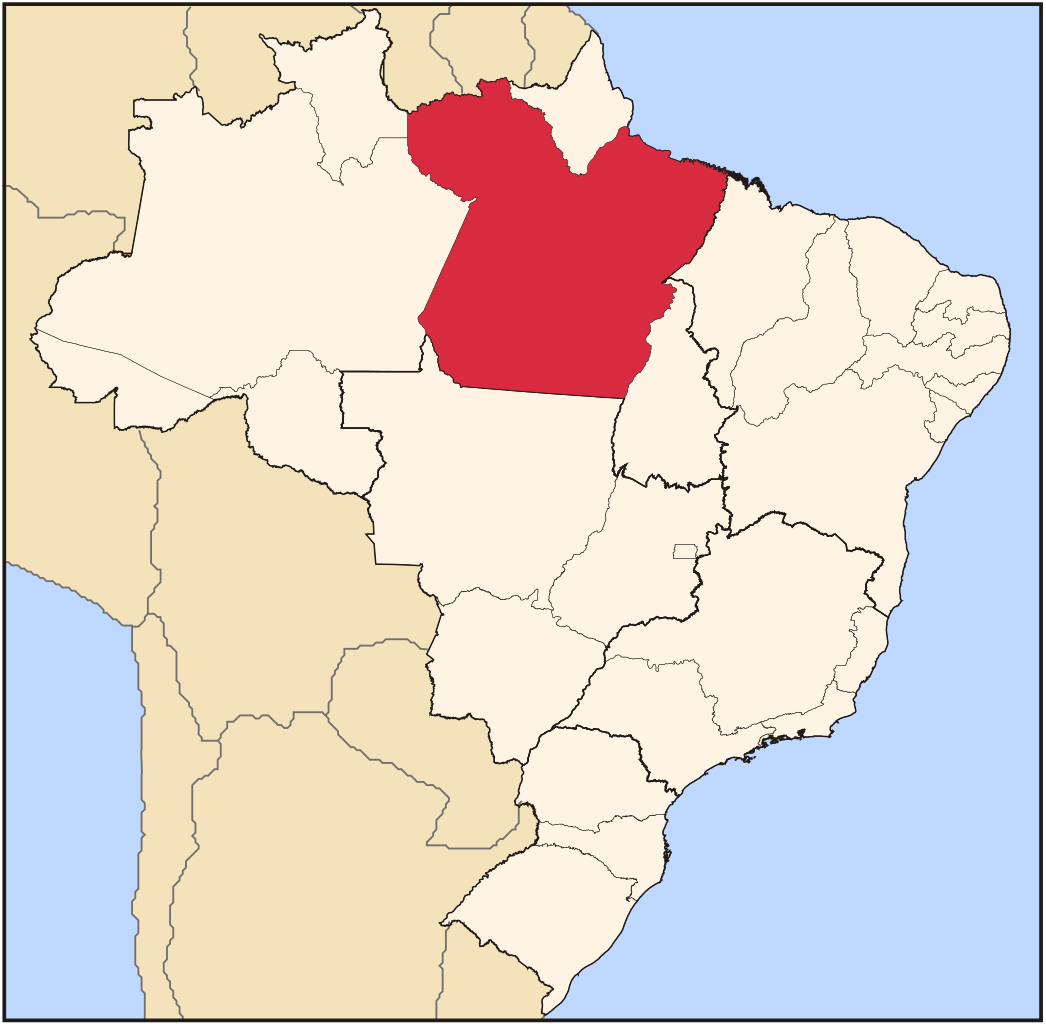
| Bepenam | Map locator of Brazil's Pará state | ||||||||
| Dät | |||||||||
| Fon | Vobot okik | ||||||||
| Lautan | Raphael Lorenzeto de Abreu | ||||||||
| Däl (Reusing this file) |
I, the copyright holder of this work, hereby publish it under the following licenses:
This file is licensed under the Creative Commons Attribution 2.5 Generic license.
You may select the license of your choice. |

Jenotem ragiva
Välolös däti/timi ad logön ragivi soäsä äbinon ün tim at.
| Dät/Tim | Magodil | Mafots | Geban | Küpet | |
|---|---|---|---|---|---|
| anuik | 03:14, 2006 yunul 3id | | 702 × 687 (676 KB) | Raphael.lorenzeto | |
| 03:12, 2006 prilul 22id |  | 702 × 687 (448 KB) | Raphael.lorenzeto | {{Information| |Description=Map locator of Brazil's Pará state |Source=own work |Date=April, 21 2006 |Author=Raphael Lorenzeto de Abreu |Permission={{self2|GFDL|cc-by-2.5}} |other_versions= }} Category:Maps of Brazil |
Yüms
Pads sököl payümons ko pad at:
Ragivigeb Valöpik
The following other wikis use this file:
- Geb su af.wikipedia.org
- Geb su ar.wikipedia.org
- Geb su arz.wikipedia.org
- Geb su bg.wikipedia.org
- Geb su bpy.wikipedia.org
- Geb su da.wikipedia.org
- Geb su de.wikipedia.org
- Geb su en.wikipedia.org
- Pará
- Belém
- Santarém, Pará
- Prainha, Pará
- Anapu
- Abaetetuba
- Óbidos, Pará
- Ananindeua, Pará
- List of municipalities in Pará
- Castanhal
- Belterra, Pará
- Goianésia do Pará
- Wikipedia:WikiProject Brazil/Cartography
- São Domingos do Capim
- Barcarena, Pará
- Juruti, Pará
- Template:Municipalities of Pará
- Almeirim, Pará
- Oriximiná
- Viseu, Pará
- Afuá
- Cachoeira do Arari
- Ponta de Pedras
- Santa Cruz do Arari
- Muaná
- Bagre, Pará
- Soure, Pará
- Chaves, Pará
- Salvaterra, Pará
- Porto de Moz
- Faro, Pará
- Terra Santa
- Alenquer, Pará
- Curuá
- Monte Alegre, Pará
- Placas
View more global usage of this file.