Ragiv:Pontdugard.jpg

Size of this preview: 800 × 532 pixels. Other resolutions: 320 × 213 pixels • 640 × 426 pixels • 1,024 × 681 pixels • 1,203 × 800 pixels.
Ragiv rigik (1,203 × 800 pixel, ragivagret: 931 KB, pated MIME: image/jpeg)
Plän brefik
| Camera location | | View this and other nearby images on: OpenStreetMap |
|---|
Dälastad
| I, the copyright holder of this work, release this work into the public domain. This applies worldwide. In some countries this may not be legally possible; if so: I grant anyone the right to use this work for any purpose, without any conditions, unless such conditions are required by law. |
Jenotem ragiva
Välolös däti/timi ad logön ragivi soäsä äbinon ün tim at.
| Dät/Tim | Magodil | Mafots | Geban | Küpet | |
|---|---|---|---|---|---|
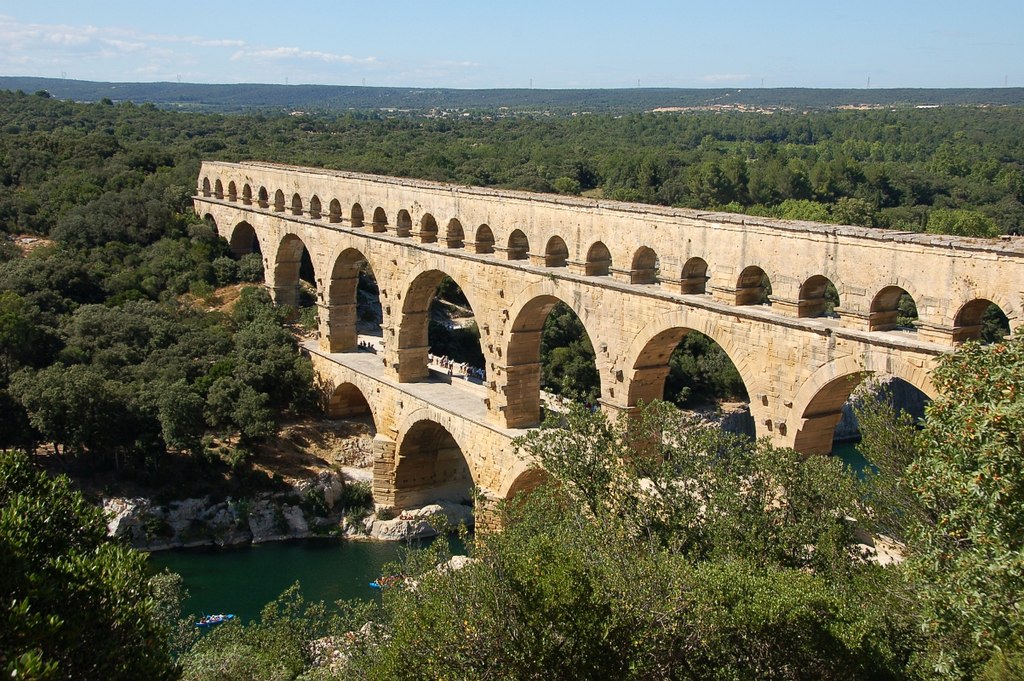
| anuik | 11:26, 2008 tobul 2id | | 1,203 × 800 (931 KB) | Mimova | {{Information |Description=Pont du Gard |Source=self-made |Date=08-2008 |Author= Mimova(~~~) |other_versions= }} |
Yüms
Pads sököl payümons ko pad at:
Ragivigeb Valöpik
The following other wikis use this file:
- Geb su ar.wikipedia.org
- Geb su ca.wikipedia.org
- Geb su cs.wikipedia.org
- Geb su da.wikipedia.org
- Geb su de.wikipedia.org
- Geb su de.wikibooks.org
- Geb su de.wikivoyage.org
- Geb su en.wikipedia.org
- Geb su eo.wikipedia.org
- Geb su es.wikipedia.org
- Geb su fa.wikipedia.org
- Geb su fr.wikipedia.org
- France
- Pont
- Liste de ponts remarquables
- Tourisme dans le Gard
- Liste de ponts de France
- Pont du Gard
- Sentier de grande randonnée 6
- Portail:Gard/Lumière sur...
- Histoire de la construction
- 9e session du Comité du patrimoine mondial
- Liste du patrimoine mondial en France
- Discussion:Liste des monuments historiques protégés en 1840/Wikidata
- Geb su gl.wikipedia.org
- Geb su hu.wikipedia.org
- Geb su id.wikipedia.org
- Geb su it.wikipedia.org
- Geb su it.wikivoyage.org
- Geb su ka.wikipedia.org
- Geb su ko.wikipedia.org
- Geb su lt.wikipedia.org
- Geb su mk.wikipedia.org
- Geb su mt.wikipedia.org
View more global usage of this file.