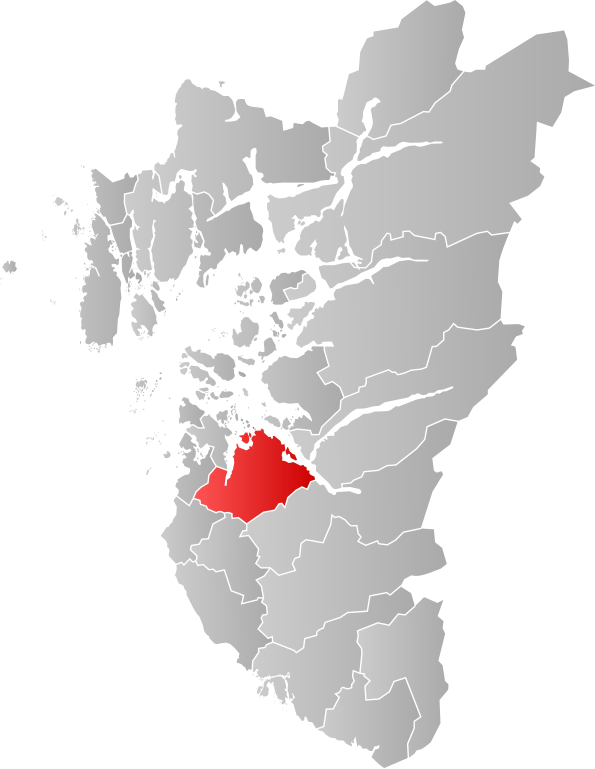
Ragiv:NO 1102 Sandnes.svg

Size of this PNG preview of this SVG file: 465 × 600 pixels. Other resolutions: 186 × 240 pixels • 372 × 480 pixels • 595 × 768 pixels • 794 × 1,024 pixels • 1,588 × 2,048 pixels • 635 × 819 pixels.
Ragiv rigik (ragiv in fomät: SVG, magodaziöbs 635 × 819, gretot: 179 KB)
| Bepenam |
This W3C-unspecified vector image was created with Inkscape . |
||
| Dät | |||
| Fon | Vobot okik | ||
| Lautan | Jon Harald Søby | ||
| Däl (Reusing this file) |
|
Jenotem ragiva
Välolös däti/timi ad logön ragivi soäsä äbinon ün tim at.
| Dät/Tim | Magodil | Mafots | Geban | Küpet | |
|---|---|---|---|---|---|
| anuik | 02:46, 2019 dekul 23id | | 635 × 819 (179 KB) | Jay1279 | improve accuracy |
| 18:07, 2007 yanul 22id |  | 544 × 712 (105 KB) | Jon Harald Søby | {{User:Jon Harald Søby/Kartlisens|Sandnes|Rogaland|s=ja}} |
Yüms
Pads sököl payümons ko pad at:
Ragivigeb Valöpik
The following other wikis use this file:
- Geb su ar.wikipedia.org
- Geb su bpy.wikipedia.org
- Geb su ca.wikipedia.org
- Geb su cs.wikipedia.org
- Geb su da.wikipedia.org
- Geb su en.wikipedia.org
- Geb su es.wikipedia.org
- Geb su fa.wikipedia.org
- Geb su fr.wikipedia.org
- Geb su hu.wikipedia.org
- Geb su hy.wikipedia.org
- Geb su it.wikipedia.org
- Geb su ja.wikipedia.org
- Geb su ka.wikipedia.org
- Geb su ko.wikipedia.org
- Geb su li.wikipedia.org
- Geb su nds.wikipedia.org
- Geb su no.wikipedia.org
- Geb su pl.wikipedia.org
- Geb su pl.wikivoyage.org
- Geb su pnb.wikipedia.org
- Geb su pt.wikipedia.org
- Geb su ro.wikipedia.org
- Geb su ru.wikipedia.org
- Geb su sl.wikipedia.org
- Geb su sq.wikipedia.org
- Geb su th.wikipedia.org
- Geb su tr.wikipedia.org
- Geb su ur.wikipedia.org
- Geb su vi.wikipedia.org
- Geb su www.wikidata.org
- Geb su zh-min-nan.wikipedia.org