Ragiv:De Geul and Kasteel den Halder in Valkenburg.jpg

Size of this preview: 800 × 522 pixels. Other resolutions: 320 × 209 pixels • 640 × 418 pixels • 1,024 × 668 pixels • 1,280 × 835 pixels • 2,560 × 1,671 pixels • 4,640 × 3,028 pixels.
Ragiv rigik (4,640 × 3,028 pixel, ragivagret: 1.49 MB, pated MIME: image/jpeg)
Plän brefik
| Bepenam |
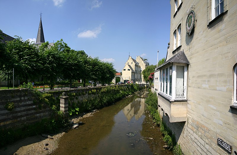
Nederlands: De Geul en Kasteel den Halder, Valkenburg
Français : Le Geul et le chateau du Halder a Fauquemont |
| Dät | |
| Fon | Self-photographed |
| Lautan | User:Cqui |
| Camera location | | View this and other nearby images on: OpenStreetMap |
|---|
| I, the copyright holder of this work, release this work into the public domain. This applies worldwide. In some countries this may not be legally possible; if so: I grant anyone the right to use this work for any purpose, without any conditions, unless such conditions are required by law. |
Jenotem ragiva
Välolös däti/timi ad logön ragivi soäsä äbinon ün tim at.
| Dät/Tim | Magodil | Mafots | Geban | Küpet | |
|---|---|---|---|---|---|
| anuik | 17:53, 2008 yunul 22id | | 4,640 × 3,028 (1.49 MB) | Cqui | {{Information |Description={{nl|1=De_Geul_and_Kasteel_den_Halder_in_Valkenburg}} {{fr|1=Le Geul et le chateau du Halder a Fauquemont}} |Source=Photo perso |Author=User:Cqui |Date=17/06/08 |Permission= |other_versions= }} {{ImageUpload|full}} [[Catego |
Yüms
Pads nonik peyümons ad ragiv at.
Ragivigeb Valöpik
The following other wikis use this file:
- Geb su fr.wikipedia.org
- Geb su lb.wikipedia.org
- Geb su nn.wikipedia.org
- Geb su ro.wikipedia.org
- Geb su war.wikipedia.org