Ragiv:Atlantic Ocean location map.svg

Size of this PNG preview of this SVG file: 508 × 599 pixels. Other resolutions: 203 × 240 pixels • 407 × 480 pixels • 651 × 768 pixels • 868 × 1,024 pixels • 1,737 × 2,048 pixels • 714 × 842 pixels.
Ragiv rigik (ragiv in fomät: SVG, magodaziöbs 714 × 842, gretot: 234 KB)
Plän brefik
| Bepenam |
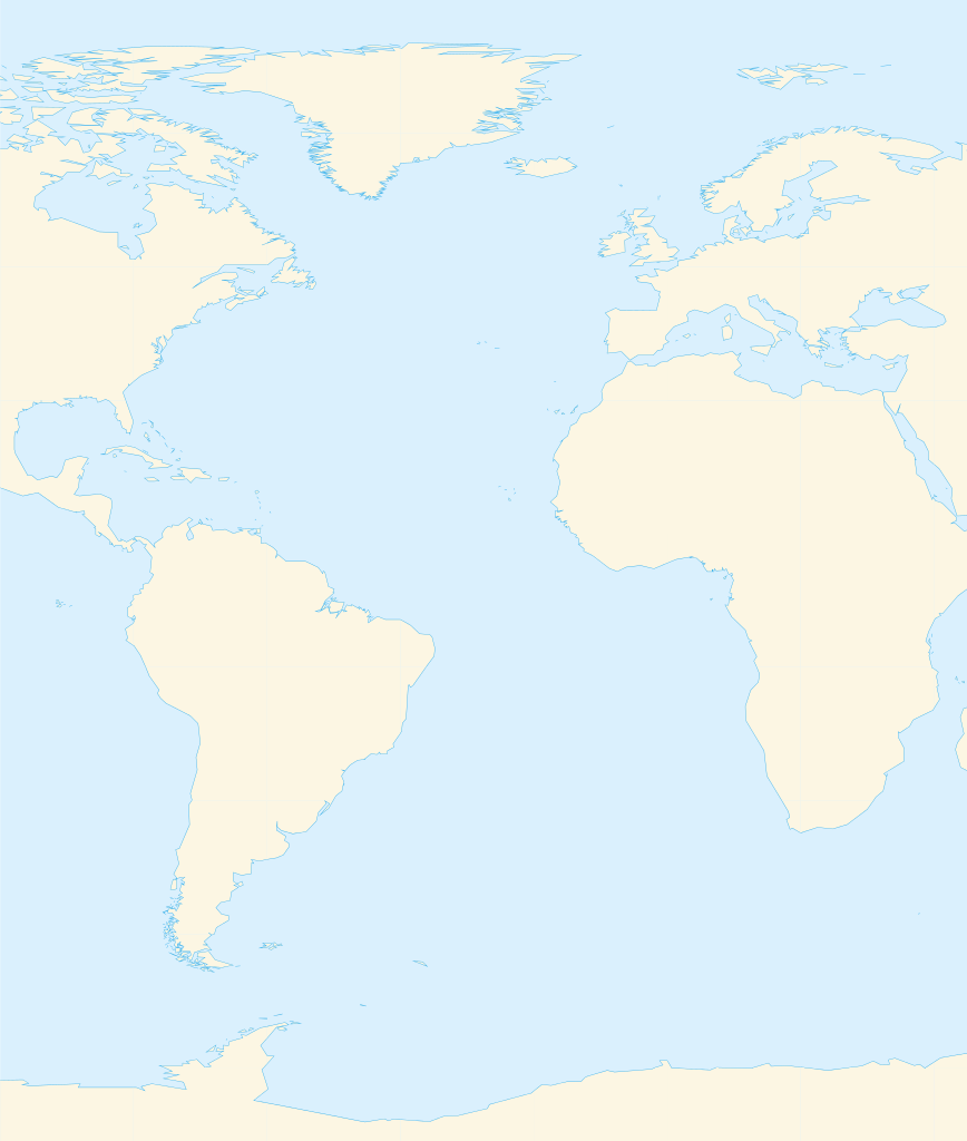
Deutsch: Positionskarte des Atlantischen Ozeans
Quadratische Plattkarte. Geographische Begrenzung der Karte:
English: Location map of the Atlantic Ocean
Equirectangular projection. Geographic limits of the map:
|
| Dät | |
| Fon | Vobot okik, Using GMT |
| Lautan | Catrin |
| Other versions | File:Atlantic Ocean satellite image location map.jpg |
Dälastad
I, the copyright holder of this work, hereby publish it under the following licenses:

|
Däl pagevon ad kopiedön, seagivön e/u votükön dokümi at ma Dälazöt ad Dokümam Libik: GNU, Fomam: 1.2 u nulikum fa el Free Software Foundation (Stitod: Nünömaprograms libik); nen diläds nevotükovik, nen vödems tegapada balid, e leigo nen vödems tegapada lätik. Kopied dälazöta pekeninon in diläd: Dälazöt ad Dokümam Libik: GNU panemöl. |
This file is licensed under the Creative Commons Attribution-Share Alike 3.0 Unported, 2.5 Generic, 2.0 Generic and 1.0 Generic license.
- Binol libik:
- to share – to copy, distribute and transmit the work
- to remix – to adapt the work
- Under the following conditions:
- attribution – You must give appropriate credit, provide a link to the license, and indicate if changes were made. You may do so in any reasonable manner, but not in any way that suggests the licensor endorses you or your use.
- share alike – If you remix, transform, or build upon the material, you must distribute your contributions under the same or compatible license as the original.
You may select the license of your choice.
Jenotem ragiva
Välolös däti/timi ad logön ragivi soäsä äbinon ün tim at.
| Dät/Tim | Magodil | Mafots | Geban | Küpet | |
|---|---|---|---|---|---|
| anuik | 14:39, 2010 mäzul 19id | | 714 × 842 (234 KB) | Catrin | Replacing broken Version |
| 14:34, 2010 mäzul 19id | Magodil nonik | (126 bytes) | Catrin | {{Information |Description={{de|Positionskarte des Atlantischen Ozeans}} Quadratische Plattkarte. Geographische Begrenzung der Karte: * N: 90° N * S: 81° S * W: 100° W * O: 45° O {{en|Location map of the [[:en:Atlantic Ocean |
Yüms
Pads sököl payümons ko pad at:
Ragivigeb Valöpik
The following other wikis use this file:
- Geb su ar.wikipedia.org
- ألمانيا
- موريتانيا
- فرنسا
- الصحراء الغربية
- أنغولا
- بلجيكا
- آيسلندا
- إسبانيا
- السنغال
- غامبيا
- غينيا بيساو
- غينيا
- سيراليون
- ليبيريا
- غانا
- توغو
- بنين
- الغابون
- ساحل العاج
- السويد
- البرتغال
- البرازيل
- كندا
- الكاميرون
- الأرجنتين
- جمهورية الكونغو الديمقراطية
- المملكة المتحدة
- جمهورية الكونغو
- ساو تومي وبرينسيب
- ناميبيا
- جمهورية أيرلندا
- الرأس الأخضر
- سورينام
- غيانا
- غينيا الاستوائية
- الجمهورية العربية الصحراوية الديمقراطية
- جرينلاند
- المغرب
- سكان الجمهورية العربية الصحراوية الديمقراطية
- قالب:البلدان والأقاليم المتاخمة للمحيط الأطلسي
- ليبورني
- سفيلاند
- نارك
- فاستمانلاند
- جيش التحرير الشعبي الصحراوي
- Geb su de.wikipedia.org
- Geb su fr.wikipedia.org
View more global usage of this file.