Ragiv:Archeploeren.JPG
Size of this preview: 800 × 600 pixels. Other resolutions: 320 × 240 pixels • 640 × 480 pixels • 1,024 × 768 pixels • 1,280 × 960 pixels • 2,560 × 1,920 pixels • 3,072 × 2,304 pixels.
Ragiv rigik (3,072 × 2,304 pixel, ragivagret: 1.27 MB, pated MIME: image/jpeg)
Plän brefik
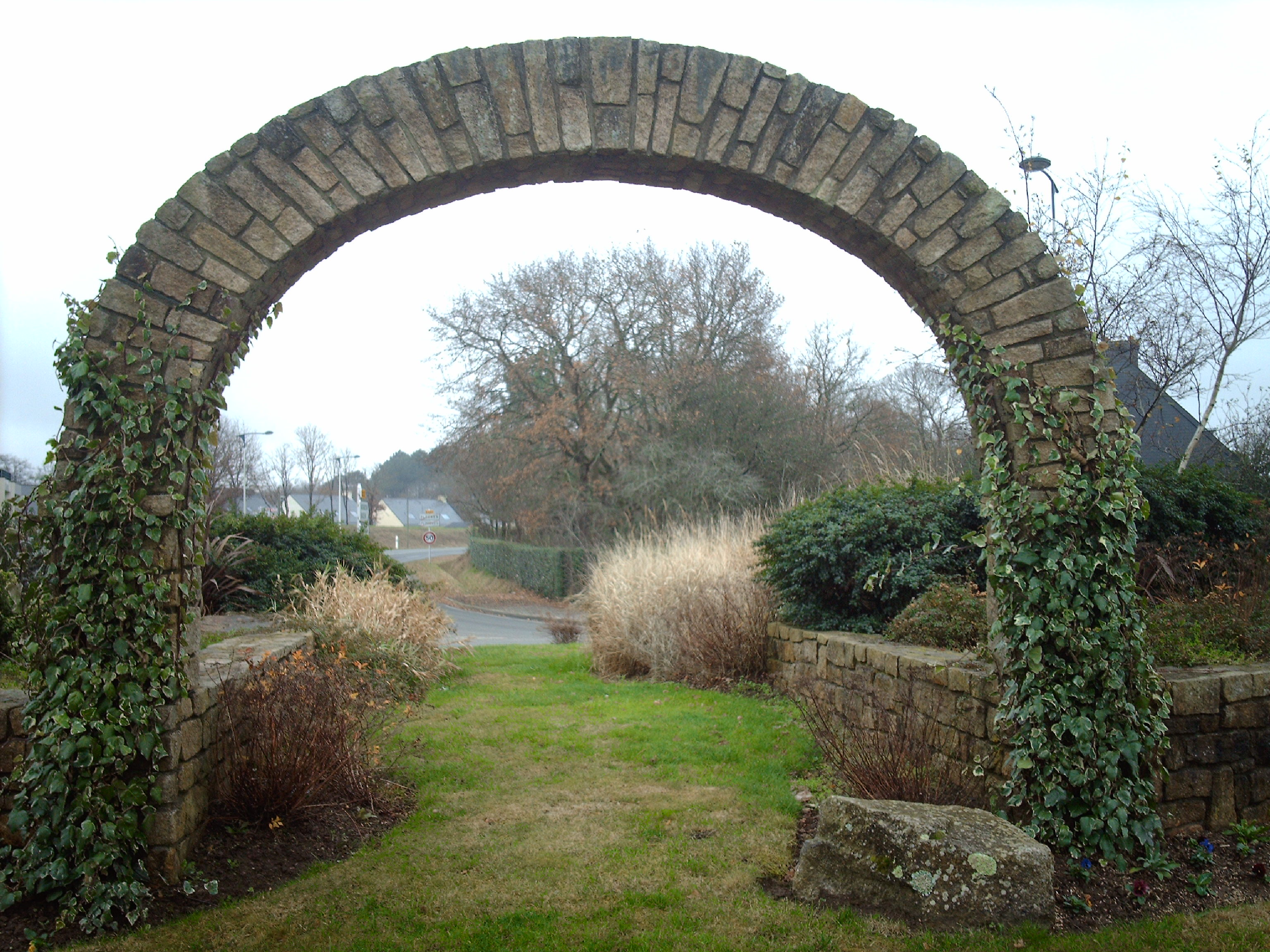
| Bepenam | Arche en pierre à l'entrée de ploeren(56) | |||||
| Dät | 02/12/2007 | |||||
| Fon | Vobot okik | |||||
| Lautan |
|

Localisation
| Camera location | | View this and other nearby images on: OpenStreetMap |
|---|
Jenotem ragiva
Välolös däti/timi ad logön ragivi soäsä äbinon ün tim at.
| Dät/Tim | Magodil | Mafots | Geban | Küpet | |
|---|---|---|---|---|---|
| anuik | 16:55, 2007 dekul 8id | | 3,072 × 2,304 (1.27 MB) | GwenofGwened | {{Information |Description=Arche en pierre à l'entrée de ploeren(56) |Source=travail personnel |Date=02/12/2007 |Author= Foxpry |Permission= |other_versions= }} |
Yüms
Pads sököl payümons ko pad at:
Ragivigeb Valöpik
The following other wikis use this file:
- Geb su ast.wikipedia.org
- Geb su br.wikipedia.org
- Geb su ca.wikipedia.org
- Geb su ceb.wikipedia.org
- Geb su ce.wikipedia.org
- Geb su cy.wikipedia.org
- Geb su en.wikipedia.org
- Geb su eo.wikipedia.org
- Geb su es.wikipedia.org
- Geb su eu.wikipedia.org
- Geb su fr.wikipedia.org
- Geb su hu.wikipedia.org
- Geb su it.wikipedia.org
- Geb su lld.wikipedia.org
- Geb su ms.wikipedia.org
- Geb su oc.wikipedia.org
- Geb su pl.wikipedia.org
- Geb su pt.wikipedia.org
- Geb su ro.wikipedia.org
- Geb su ru.wikipedia.org
- Geb su sk.wikipedia.org
- Geb su sv.wikipedia.org
- Geb su tt.wikipedia.org
- Geb su uk.wikipedia.org
- Geb su uz.wikipedia.org
- Geb su vec.wikipedia.org
- Geb su www.wikidata.org
- Geb su zh-min-nan.wikipedia.org
- Geb su zh.wikipedia.org