Ragiv:Swanley Library and Information Centre - geograph.org.uk - 1187843.jpg
Gretot gudikum no pagebidon.
Swanley_Library_and_Information_Centre_-_geograph.org.uk_-_1187843.jpg (640 × 481 pixel, ragivagret: 59 KB, pated MIME: image/jpeg)
Plän brefik
| Bepenam |
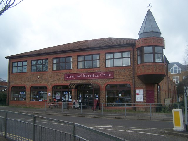
English: Swanley Library and Information Centre On junction of London Road (in front) and St Mary's Road (unseen on right).
Has tourist information, small cafe (windows on right), as well as local library. |
| Dät | |
| Fon | From geograph.org.uk |
| Lautan | David Anstiss |
| Attribution (required by the license) | David Anstiss / Swanley Library and Information Centre / |
| Camera location | | View this and other nearby images on: OpenStreetMap |
|---|
_heading:225.00&language=vo)
| Object location | | View this and other nearby images on: OpenStreetMap |
|---|
_heading:225.00&language=vo)
Dälastad

|
This image was taken from the Geograph project collection. See this photograph's page on the Geograph website for the photographer's contact details. The copyright on this image is owned by David Anstiss and is licensed for reuse under the Creative Commons Attribution-ShareAlike 2.0 license.
|
This file is licensed under the Creative Commons Attribution-Share Alike 2.0 Generic license.
Attribution: David Anstiss
- Binol libik:
- to share – to copy, distribute and transmit the work
- to remix – to adapt the work
- Under the following conditions:
- attribution – You must give appropriate credit, provide a link to the license, and indicate if changes were made. You may do so in any reasonable manner, but not in any way that suggests the licensor endorses you or your use.
- share alike – If you remix, transform, or build upon the material, you must distribute your contributions under the same or compatible license as the original.
Jenotem ragiva
Välolös däti/timi ad logön ragivi soäsä äbinon ün tim at.
| Dät/Tim | Magodil | Mafots | Geban | Küpet | |
|---|---|---|---|---|---|
| anuik | 22:05, 2011 febul 25id | | 640 × 481 (59 KB) | GeographBot | == {{int:filedesc}} == {{Information |description={{en|1=Swanley Library and Information Centre On junction of London Road (in front) and St Mary's Road (unseen on right). Has tourist information, small cafe (windows on right), as well as local library.} |
Yüms
Pads sököl payümons ko pad at:
Ragivigeb Valöpik
The following other wikis use this file:
- Geb su azb.wikipedia.org
- Geb su ceb.wikipedia.org
- Geb su cy.wikipedia.org
- Geb su de.wikipedia.org
- Geb su en.wikipedia.org
- Geb su fa.wikipedia.org
- Geb su fr.wikipedia.org
- Geb su ga.wikipedia.org
- Geb su id.wikipedia.org
- Geb su lld.wikipedia.org
- Geb su nl.wikipedia.org
- Geb su pl.wikipedia.org
- Geb su ro.wikipedia.org
- Geb su uk.wikipedia.org
- Geb su www.wikidata.org
- Geb su zh.wikipedia.org