Ragiv:High east of Beech in Oxford.jpg
Size of this preview: 800 × 450 pixels. Other resolutions: 320 × 180 pixels • 640 × 360 pixels • 1,024 × 576 pixels • 1,280 × 720 pixels • 2,816 × 1,584 pixels.
Ragiv rigik (2,816 × 1,584 pixel, ragivagret: 1.15 MB, pated MIME: image/jpeg)
| Camera location | | View this and other nearby images on: OpenStreetMap |
|---|
| Bepenam |
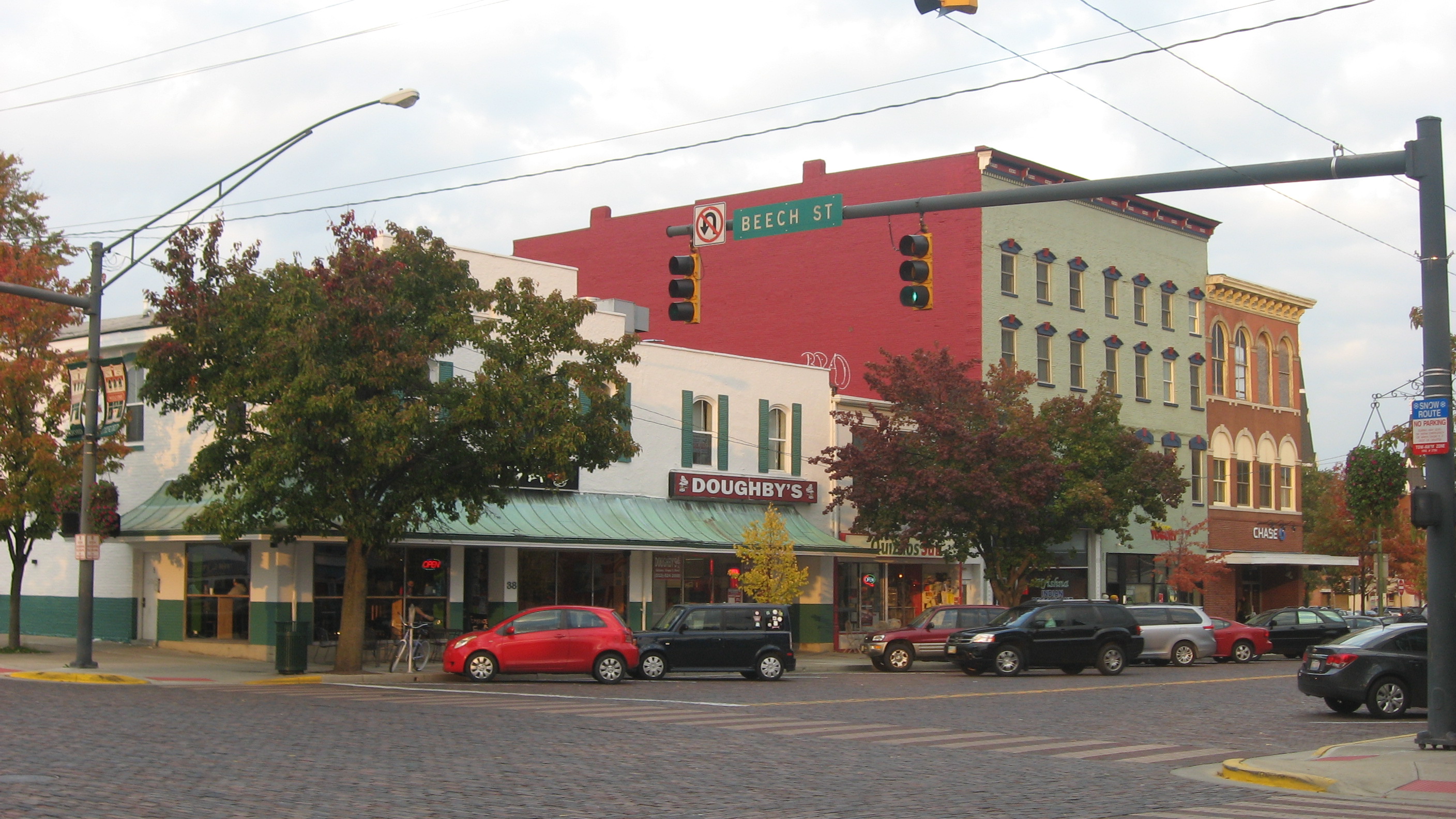
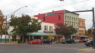
English: Buildings on the northern side of High Street (U.S. Route 27) east of the Beech Street intersection in Oxford, Ohio, United States. |
||
| Dät | Taken on 26 tobul 2013 | ||
| Fon | Vobot okik | ||
| Lautan | Nyttend | ||
| Däl (Reusing this file) |
|
Jenotem ragiva
Välolös däti/timi ad logön ragivi soäsä äbinon ün tim at.
| Dät/Tim | Magodil | Mafots | Geban | Küpet | |
|---|---|---|---|---|---|
| anuik | 02:42, 2013 novul 5id | | 2,816 × 1,584 (1.15 MB) | Nyttend | {{Location|39|30|38.5|N|84|44|37|W}} {{Information |Description={{en|Buildings on the northern side of High Street ({{w|U.S. Route 27}}) east of the Beech Street intersection in {{w|Oxford, Ohio|Oxford}}, {{w|Ohio}}, {{w|United States}}.}} |Source={{Ow... |
Yüms
Pads sököl payümons ko pad at:
Ragivigeb Valöpik
The following other wikis use this file:
- Geb su ar.wikipedia.org
- Geb su arz.wikipedia.org
- Geb su azb.wikipedia.org
- Geb su be.wikipedia.org
- Geb su ca.wikipedia.org
- Geb su ceb.wikipedia.org
- Geb su ce.wikipedia.org
- Geb su cy.wikipedia.org
- Geb su en.wikivoyage.org
- Geb su es.wikipedia.org
- Geb su eu.wikipedia.org
- Geb su ht.wikipedia.org
- Geb su it.wikipedia.org
- Geb su it.wikivoyage.org
- Geb su ky.wikipedia.org
- Geb su lld.wikipedia.org
- Geb su no.wikipedia.org
- Geb su pl.wikipedia.org
- Geb su ro.wikipedia.org
- Geb su sr.wikipedia.org
- Geb su sv.wikipedia.org
- Geb su tr.wikipedia.org
- Geb su tt.wikipedia.org
- Geb su ur.wikipedia.org
- Geb su uz.wikipedia.org
- Geb su vi.wikipedia.org
- Geb su www.wikidata.org
- Geb su zh-min-nan.wikipedia.org